Woodbury to Silver Spray Traverse - Kokanee Glacier Provincial Park, BC August 1 - 4, 2015
(Day 4 - August 4 - Out via Silver Spray Trail)
While I could have stayed another night at the Silver Spray cabin as I had it booked, and had enough food and nearly enough wine, I decided not to. My knees and muscles surrounding them hurt from all the boulder walking and I just wanted to be out. Then I could check out the Ainsworth Hotsprings and their 'cave'! It was just cool enough (~22 degrees in the valley) that hotsprings made sense, when they would definitely not at 30 + degrees.
The children woke me up early, so I headed out at a decent time and got back to my car with plenty of the afternoon left. The trail descended over 1000m, and didn't help my knees and muscles. I did find some wild raspberries to eat though (perhaps I should have left some for those kids, rather than eating them all?). It was also nice to be in a forest again strangely, after being above treeline for so long. The first thing I saw when I got to the road was the road workers (who were still fixing ditches and regrading the last 1.5km) adorable puppy! Then I had to walk along, and somewhat up, the last 1.5km to my car. Still thinking about how the Rendezvous could have technically made it....
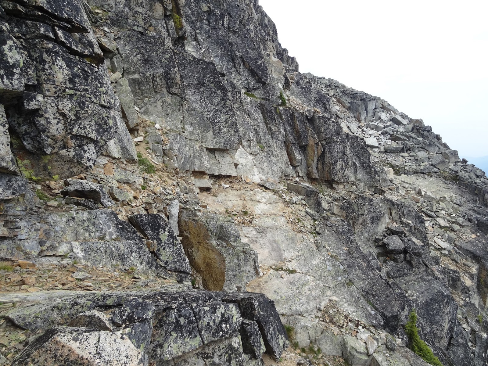
 Looking back after an initial descent from the hut. The trail is easy to follow here. The Silver Spray Hut is more popular than the Woodbury, despite the extra elevation gain. There were many entries in the guest book though about tired people wondering if they would ever get to the hut. That is because you get up to the top of this area along the horizon shown here, and you still cant see the hut until you hike another few hundred meters and turn a corner and then it is right upon you.
 Huge boulder below Sunrise Mountain.
 Looking down the valley. The trail goes skiers left traversing through the burn zone, before descending down to the creek, and following it for a short while through forest.
 Trail.
 Looking back up. Again the hut is at the level of the low dip on the horizon between the two mountains. The one on the right is Sunrise Mountain.
 In the burn zone.
 Creek in the forest.
 Then back in the burn zone the trail descends while traversing skiers right down this slope, before switch-backing down to the junction.
Ainsworth Hotsprings were nice, but unfortunately my relaxation was disturbed by the knowledge that my car I'd traded my dad for had the engine blow up on him. It was actually nearby down near Castlegar, as he was on a different road trip to BC. I would need to get new wheels once I returned to Calgary, and that worry clouded the rest of my trip home.
(Day 1 - August 1 - In to Woodbury Hut)
(Day 2 - August 2 - Woodbury Hut to Sliver Spray Hut Traverse)
(Day 3 - August 3 - Ascent of Sunrise Mountain)
The children woke me up early, so I headed out at a decent time and got back to my car with plenty of the afternoon left. The trail descended over 1000m, and didn't help my knees and muscles. I did find some wild raspberries to eat though (perhaps I should have left some for those kids, rather than eating them all?). It was also nice to be in a forest again strangely, after being above treeline for so long. The first thing I saw when I got to the road was the road workers (who were still fixing ditches and regrading the last 1.5km) adorable puppy! Then I had to walk along, and somewhat up, the last 1.5km to my car. Still thinking about how the Rendezvous could have technically made it....


Ainsworth Hotsprings were nice, but unfortunately my relaxation was disturbed by the knowledge that my car I'd traded my dad for had the engine blow up on him. It was actually nearby down near Castlegar, as he was on a different road trip to BC. I would need to get new wheels once I returned to Calgary, and that worry clouded the rest of my trip home.
(Day 1 - August 1 - In to Woodbury Hut)
(Day 2 - August 2 - Woodbury Hut to Sliver Spray Hut Traverse)
(Day 3 - August 3 - Ascent of Sunrise Mountain)