
Woodbury to Silver Spray Traverse - Kokanee Glacier Provincial Park, BC August 1 - 4, 2015
(Day 2 - August 2 - Woodbury Hut to Sliver Spray Hut Traverse)
As I mentioned in the last post, this was a long hard day. It was also a very hot day. That was good in the sense I never once worried about the weather: that it might rain on me. However, it was very hot to be above treeline all day. I filtered water on this day as well, out of the second lake/tarn, and drank ~8 liters of water in 7.5 hours. It was also a day with some very beautiful views, from the tops of ridges and along the edges of tarns.
The first part of the day started out going up the trail to Moonlight Peak. After ~40 minutes you turn off to cross boulders to a notch. The rest of the day till you get to within ~500 meters of Silver Spray Hut is completely off trail. There is not even a single cairn the entire way, which is nice as there are too many around these days, but also surprising. People really love to build those things. They are reassuring to see because you know you are on someones route. But often they are not on quite the right route, and doing things without help is always more rewarding. Another reason I was doing this solo. And, as I also wrote into the previous days blogs post: Route finding was easy in hindsight, but while I was there it always seemed in debate whether I would get lost or not (I never did) on a macro side. Every lake/tarn I got to was a big success as then I knew exactly where I was for at least a moment. On the micro side, it actually was always in debate whether I was contouring too high or too low (usually too low, yeah! for extra elevation gain). Almost the entire thing is over boulders/talus as well. Its very tiring to walk on that stuff for a full day.
I have to say though, if you want to do this traverse you might not want to read this report. Two reasons: (1) After seeing all the up and down, and around ridges, mostly over boulders, you might talk yourself out of it. Which would be a shame as it is pretty good type II fun. (2) A lot of the joy in completing this is in the accomplishment (for us hikers who normally stay on trails at least). If you read a report like mine that is heavy on pictures, you take away some of the route-finding, and therefor the sense of accomplishment gained from such. I personally was glad in hindsight that I hadn't found a single trip report to read online. Normally when I climb a rockies peak I find several reports to read with many photos, and routing is significantly decreased based on what I've read and remembered. On this trip, I was covering completely new ground for once, and while that scared me a bit at the time, it made the accomplishment for me all the better.
 There is a old map in the hut with the route drawn on it. It is a larger scale than the available 82F/14 government map, and much nicer than the drawing in the book containing the route description, so I took a photo.
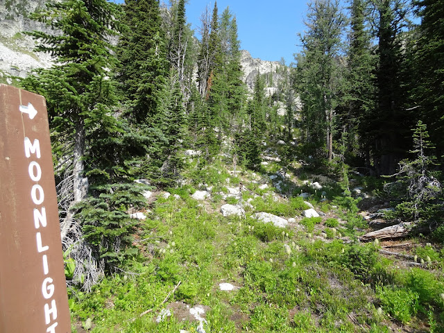 The trail to Moonlight Peak is not the most distinct trail, but it is mostly easy to follow.
 It takes you up the climbers left side of this bowl above the hut.
 Looking back at Woodbury Glacier.
 Looking down the bowl to the hut, now far below.
 At this point ~40 minutes in, you can see the notch in the ridge. Here you must leave the faint trail to start the seemingly endless hike over boulders that the rest of your day will be.
 Smoky haze in the view to the west.
 The notch is only ~10 minutes away.
 Looking back.
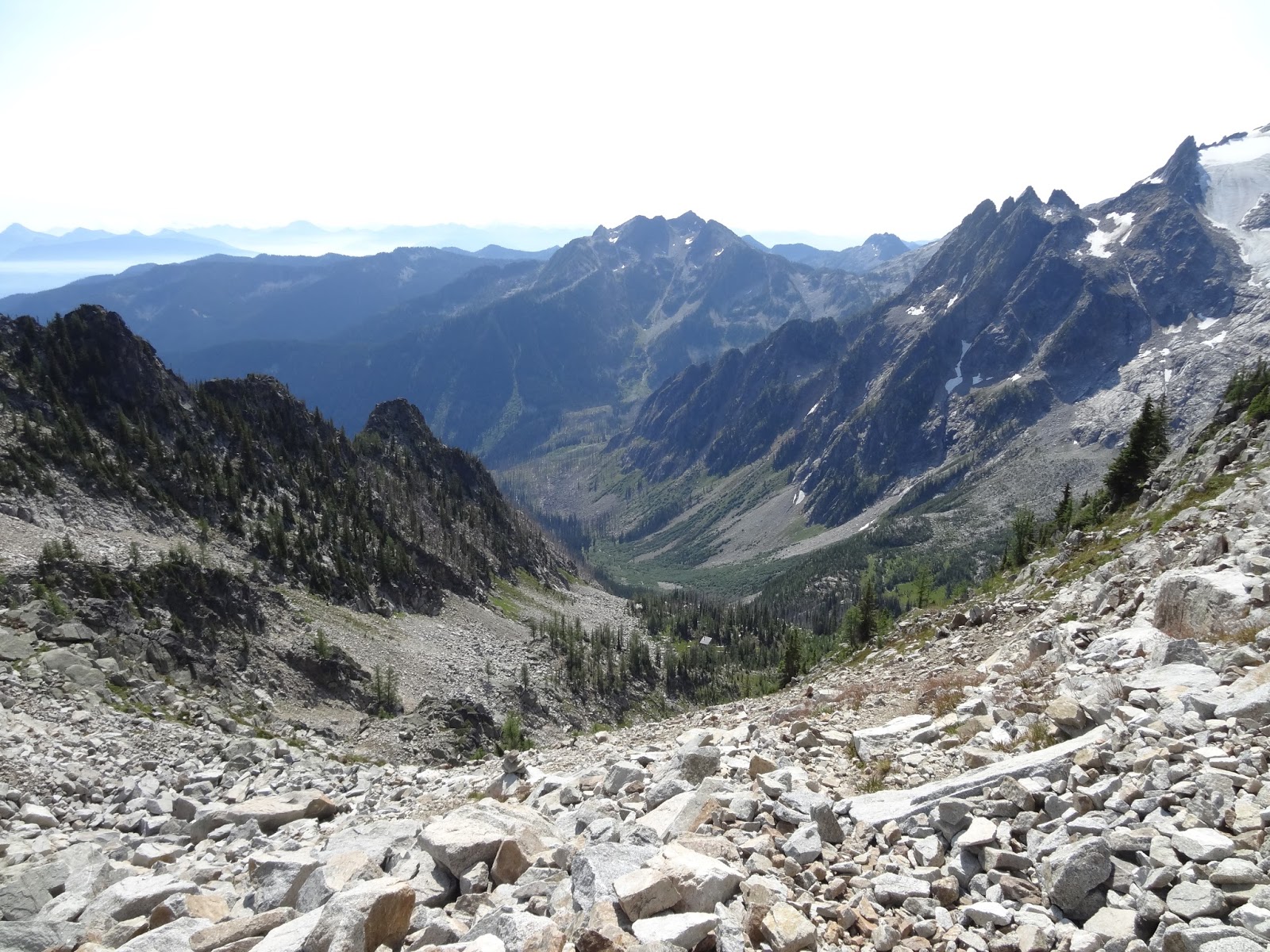
 View down from the notch. This is the steepest descent and it is on scree rather than boulders. It was easy for a scrambler like me, despite having to get used to the slightly different texture (is that the right word?) of scree that is made up of granite/quartize rather than rockies rubble. I felt like it acted slightly different underfoot. But maybe that was just the heavy pack.
 View looking out from the notch.
 Distinctive lichen covered wall in the notch.
 Part way down looking back up.
 Around the initial corner and looking onwards. The traverse takes you down to almost the level of the trees then you must start traversing around the ridge you come to. In the distant future (ie. several hours later) you will ascend to the low point on the uppermost ridge to the far right.
 Much farther down, and starting the traverse around the ridge on the descent, looking back. The brown section is the scree down from the notch.
 The grass is intermittent and short lived here, but nice.
 Looking back again. This is after I re-gained about 5 meters after realizing I was too low when I met much steeper terrain during the traverse, and what looked like short cliffs below me. As I said above, it is somewhat hard to tell exactly what elevation to be at when contouring around these ridges. If you are off by too much you will still get to your destination, but you will have a much harder time.
 At this point I could see the tarn below me. Which was very comforting. When I got to tarns I always knew exactly where I was once again. Even when I saw them in the distance it was very nice.
 There was a nice flat grassy section for all of ~50 meters, and then you cross the small creek.
 After which you contour another few meters and start descending down boulders to the tarn.
 Why wouldn't the descent be on boulders?
 Then you get to a nice little creek.
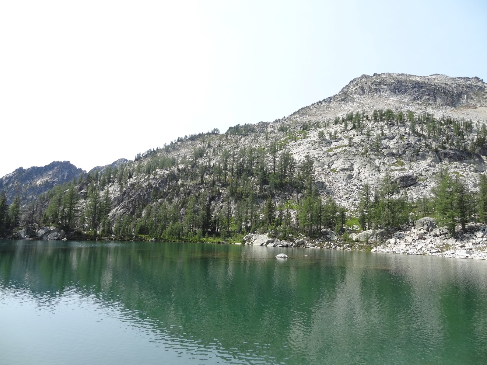
 And finally the tarn. Which has a nice view across it to Woodbury Glacier and Glacier View Peak. This was break time. The comforting notion of not being lost at that moment, meant that marching across boulders could be stopped, and sitting to eat/drink/rest could start for a short time.
 Then you go around the lake. This is looking back at the ridge.
 View as you go around the lake.
 Then you go cross country (level ground!) to get to the next ridge you contour around. This is looking back as I start that. You can see clear across to the initial descent from the notch again.
 Traversing is done about 20-50 meters above the elevation of the lake. Again I was initially a bit too low.
 I ended up here looking into the next bowl that contains a tarn hidden until you are right upon it. The boulders are steep here and so is the grass I'm standing on. I think I should have been slightly higher to make it easier, but this time I'm not entirely sure. You have to ascend into that basin after you cross the creek anyway, so you might as well be high right? The tarn is on the eastern (right) side.
 This is the edge of the tarn looking back at the last ridge.
 After the tarn you have to ascend this slope to the east, up to the low point on this ridge.
 The tarn is another nice place for a break. It was here I filtered water roughly halfway through the day.
 Looking back after ascending the first ~1/3 of the way up from the lake.
 On top of the ridge looking south.
 Looking back west from the top. The tarn is below, then behind it is the last ridge I contoured around. Behind it you cannot really see the first ridge I contoured, but you can see the large bowl you first descend into from the notch again. Its neat to see most of the previous sections of the traverse like this.
 Starting down the other side you have to descend very little before doing a descending traverse to the left. The next tarn is again hidden, this time around the left corner. You must again ascend at the end of this descending traverse when you get to the creek, to reach the tarn.
 Looking straight down. As the book says do not go to that tarn down there. There is no need to go that low.
 Looking back after most of the descent.
 Going up from near the creek. Don't go this way, but ascend straight along the creek to just climbers left of this photo to get to the tarn.
 Tarn = break time again.
 Then I must ascend up this ridge.
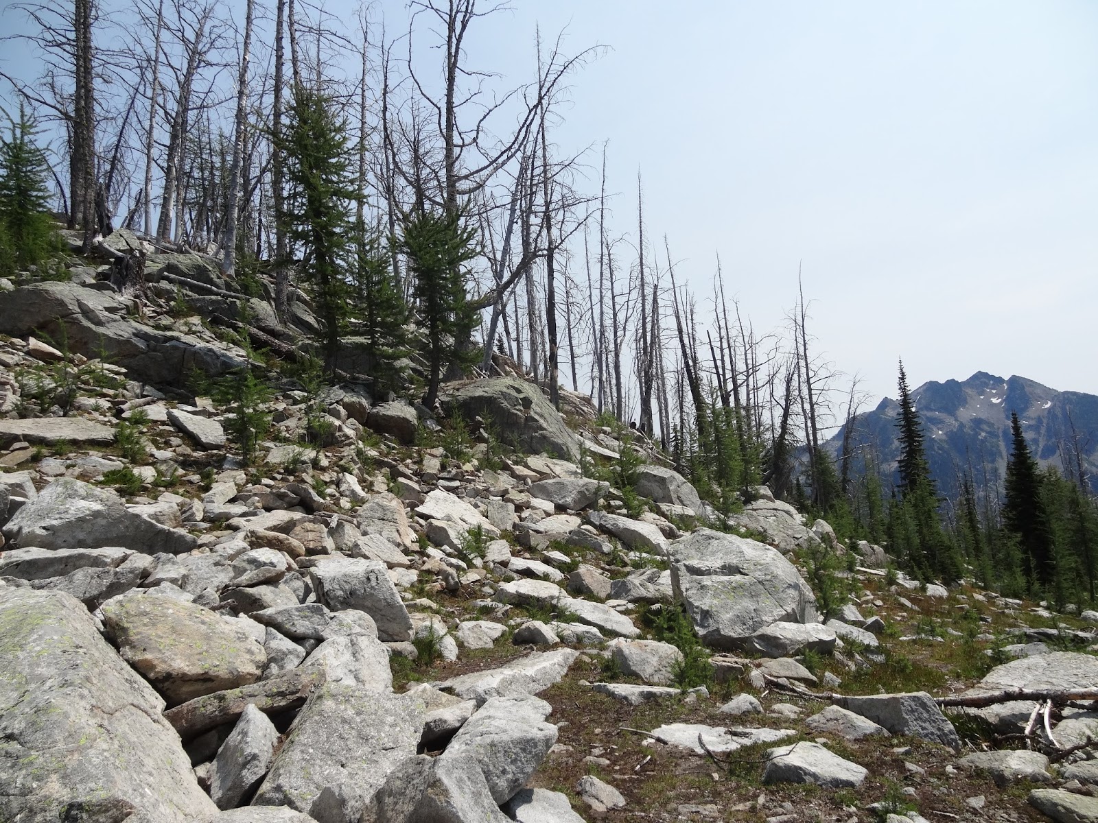
 And go along its crest for a while, which involves the only bushwhacking on this day. The top is covered in trees and krummholz.
 Looking back down valley from the tarn.
 Ascending to the ridge.
 On the ridge about to get into the trees.
 After going along the ridge for while with a sheer drop off the right hand side you get to a notch. As the book says ignore the descent off of the notch at this point, even if it looks like a possibility.
 Instead go another ~2 minutes farther along and then descend down step-like terrain. I think this here, was about a few meters to early but it worked. I did traverse left soon after this, a bit to get to where it looked more like other people had been before.
 Which was here. Fairly easy.
 Looking back.
 At which point you get off grass and back onto boulders.
The book says that there is no need to traverse/contour because you can gain the ridge slightly lower than is possible. That is bull$#*!, as you are going around a bowl that keeps descending down to the valley. You still have to traverse/contour around, no matter what elevation you choose, as the ground here simply is not level anywhere. I'd read that part of the description and been glad the last bowl would be easy. I got here and was frustrated when it was the same as all the others! I was very tired, very hot, and very very sick of both boulders and traversing/contouring. I hadn't actually thought about the fact that I hate traversing a lot. And I often find it scary. Why had I picked something that had traverse in the name and obviously from the description meant traversing ridges and bowls all day??? Because I just didn't think it all the way through! That's why. Once again though, good old type II fun. I'm glad I did it in the end. This bowl though, was harder than the rest for me. I was pretty annoyed.
Also in my defense, I feel it necessary to state at this point that I was carrying around a lot of weight due to excess food. I had thought I was taking 5 days of food (so 4 by this point) but actually seemed to have packed more like 6 (so 5 at this point). Which is weird because I packed perfectly for the North Coast Trail. Only 2 bars left! Here I ended up walking out with quite a few bars, quite a few energy chew packages, a package of jerky, a gigantic bag of trail mix that must have weighted at least 3-5 pounds, one large dinner, and 1/3 of a bottle of wine surprisingly (at this point 2 bottles were in my bag).
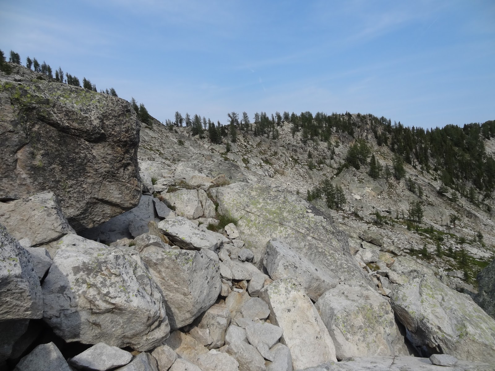
 The boulders also get super large for short section on this traverse.
 Looking back.
 About to stop traversing and head up the ridge.
 Sort of grassy again. Nice relief.
 On top of that last ridge. At this point you can see the roof of the hut just a bit left and above the center of this photo. I know you cant really see it in this picture, but its very clear from the top of the ridge in person. It was such a relief to see that roof and know this ordeal (I mean fun....) would be over. I took a break here instead of at the tarn below to celebrate.
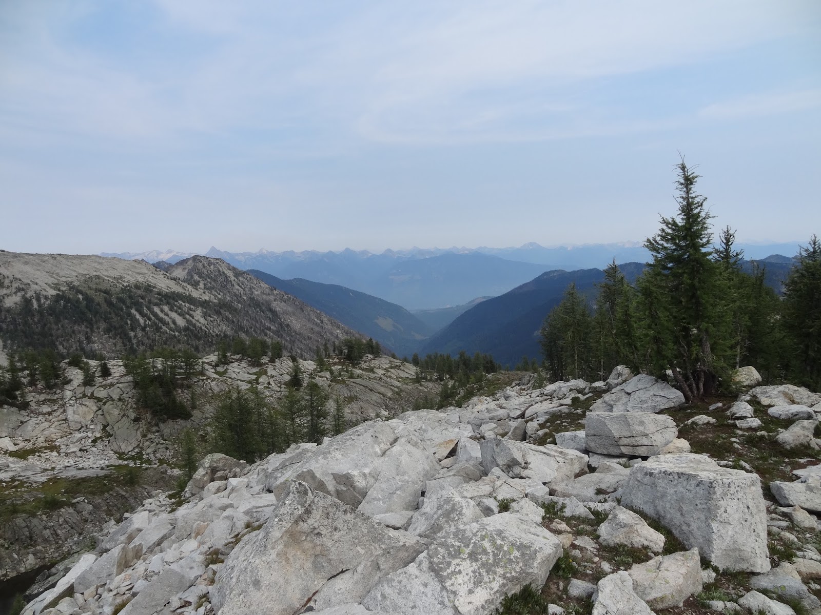
 Looking down valley.
 A long tarn that was seen from above the ridge. This is where the cairns start, and therefore you are that one step closer to civilization.
 Looking back up at the last boulder descent off of the last ridge.
 Going up a bit from the lake on broken rock.
 Hiking the final approach to the hut which is just behind those trees. There is even a faint trail here.
 Hut! How I do love huts!
 Hut!
Hut!
 This one is much larger, brighter, and not rat infested.
 Eating area.
 Kitchen.
 Sleeping area.
Soon my peace and quite would be broken by two families with small children. It was nice to see other people again though. And like I told them when they asked me, the children only woke me up ~3 times at night. The pack-rats were ~6-7. So children for the win!
(Day 1 - August 1 - In to Woodbury Hut)
(Day 3 - August 3 - Ascent of Sunrise Mountain)
(Day 4 - August 4 - Out via Silver Spray Trail)
The first part of the day started out going up the trail to Moonlight Peak. After ~40 minutes you turn off to cross boulders to a notch. The rest of the day till you get to within ~500 meters of Silver Spray Hut is completely off trail. There is not even a single cairn the entire way, which is nice as there are too many around these days, but also surprising. People really love to build those things. They are reassuring to see because you know you are on someones route. But often they are not on quite the right route, and doing things without help is always more rewarding. Another reason I was doing this solo. And, as I also wrote into the previous days blogs post: Route finding was easy in hindsight, but while I was there it always seemed in debate whether I would get lost or not (I never did) on a macro side. Every lake/tarn I got to was a big success as then I knew exactly where I was for at least a moment. On the micro side, it actually was always in debate whether I was contouring too high or too low (usually too low, yeah! for extra elevation gain). Almost the entire thing is over boulders/talus as well. Its very tiring to walk on that stuff for a full day.
I have to say though, if you want to do this traverse you might not want to read this report. Two reasons: (1) After seeing all the up and down, and around ridges, mostly over boulders, you might talk yourself out of it. Which would be a shame as it is pretty good type II fun. (2) A lot of the joy in completing this is in the accomplishment (for us hikers who normally stay on trails at least). If you read a report like mine that is heavy on pictures, you take away some of the route-finding, and therefor the sense of accomplishment gained from such. I personally was glad in hindsight that I hadn't found a single trip report to read online. Normally when I climb a rockies peak I find several reports to read with many photos, and routing is significantly decreased based on what I've read and remembered. On this trip, I was covering completely new ground for once, and while that scared me a bit at the time, it made the accomplishment for me all the better.








The book says that there is no need to traverse/contour because you can gain the ridge slightly lower than is possible. That is bull$#*!, as you are going around a bowl that keeps descending down to the valley. You still have to traverse/contour around, no matter what elevation you choose, as the ground here simply is not level anywhere. I'd read that part of the description and been glad the last bowl would be easy. I got here and was frustrated when it was the same as all the others! I was very tired, very hot, and very very sick of both boulders and traversing/contouring. I hadn't actually thought about the fact that I hate traversing a lot. And I often find it scary. Why had I picked something that had traverse in the name and obviously from the description meant traversing ridges and bowls all day??? Because I just didn't think it all the way through! That's why. Once again though, good old type II fun. I'm glad I did it in the end. This bowl though, was harder than the rest for me. I was pretty annoyed.
Also in my defense, I feel it necessary to state at this point that I was carrying around a lot of weight due to excess food. I had thought I was taking 5 days of food (so 4 by this point) but actually seemed to have packed more like 6 (so 5 at this point). Which is weird because I packed perfectly for the North Coast Trail. Only 2 bars left! Here I ended up walking out with quite a few bars, quite a few energy chew packages, a package of jerky, a gigantic bag of trail mix that must have weighted at least 3-5 pounds, one large dinner, and 1/3 of a bottle of wine surprisingly (at this point 2 bottles were in my bag).




Soon my peace and quite would be broken by two families with small children. It was nice to see other people again though. And like I told them when they asked me, the children only woke me up ~3 times at night. The pack-rats were ~6-7. So children for the win!
(Day 1 - August 1 - In to Woodbury Hut)
(Day 3 - August 3 - Ascent of Sunrise Mountain)
(Day 4 - August 4 - Out via Silver Spray Trail)


